
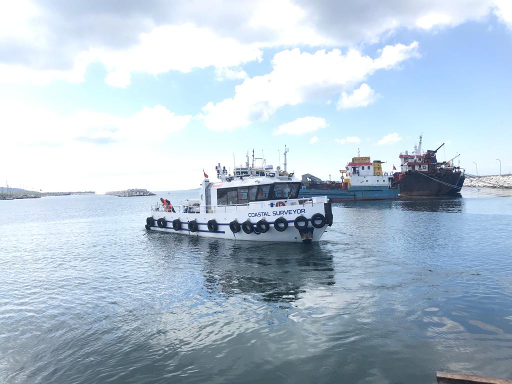
Equipped Coastal Survey Vessel
The Coastal Surveyor is a compact yet highly versatile survey vessel, renowned for its exceptional capability to perform surveys with precision and accuracy within the boundaries of national waters. With its cutting-edge design and advanced technology, the Coastal Surveyor is designed to meet the demanding requirements of hydrographic, geophysical, geological, and oceanographic surveys.
Powered by Kordil
The vessel is equipped with the latest surveying equipment and staffed by experienced surveyors and engineers, ensuring that every survey is carried out efficiently and effectively. It was strengthened with software and hardware developed by Kordil and its business partners. Every hardware it may need has been added to the ship. can handle all the work on its own.
Hydrographic Survey Vessel
The Research Vessel boasts a cutting-edge design and structure, engineered by highly experienced surveyors and engineers for efficient installation and outstanding surveys. Kordil is proud to own the Coastal Surveyor, which has a proven track record of successful hydrographic, geophysical, geological, and oceanographic surveys within the waters of Turkey
The survey vessel is designed to do surveys in following fields.
Pipeline Projects both Construction and Inspection
Route Surveys
Port and Harbor Construction
Obstacle Avoidance Surveys
Windfarm Surveys
Unexploded Ordnance (UXO) Surveys
Research and Investigation Surveys
Underwater Archeological Survey
Coastal exploration
Advanced hardware capability
The Coastal Surveyor boasts a number of open-hole cabling routes, allowing for the quick and effortless installation of even the most complex survey equipment. Our GNSS antennas, IMU, and Multibeam Pole are readily accessible and fully equipped for surveyors to use with ease. The on-board winch further enhances our capabilities, enabling seamless transfer of equipment from shore to vessel and facilitating smooth handling of tow fish during surveys.
Optimized for research
All in one
The Coastal Surveyor is outfitted with a comprehensive suite of surveying and instrumentation tools, including: a high-grade, high-resolution multibeam system capable of performing water column, backscatter, and snippet surveys; above water laser scanning; magnetometry; side scan sonar; subbottom profiler; current surveys; ROV inspections; diving inspections; and seabed sampling using a grab sampler, gravity corer, and piston corer.”
The ability to add optional equipment.

Exclusive references
With hundreds of successful projects and satisfied customers under our belt, we take pride in our work. If you’re seeking further information on any topic, please don’t hesitate to reach out to us. We’d be delighted to provide you with additional details and answer any questions you may have.